
Digital Information
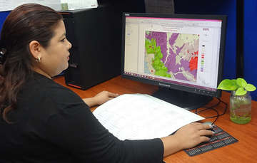
Digital information contents the geological-mining and geochemical (31 items) map.
Also included, are satellite images at a resolution of 50 meters, the geophysical level of total magnetic field in the forms of isocurves and polygons, infrastructure files and toponomy of INEGI.
| INTERACTIVE DIGITAL PACKAGE | INTERACTIVE GEOLOGICAL-MINING MAP | DIGITAL GEOCHEMISTRY MAP |
|
|
|
Availability of Digital Information:
- Geological Maps, scale 1:50,000
- Geological Maps, scale 1:250,000
- Geological Maps on hold
- Geological Maps in production
Current Price List
For additional information, contact:
CEDOCIT - Care and Sales
 Digital Packages
- Autor:
- Servicio Geológico Mexicano
- Fecha de publicación:
- 27 de septiembre de 2017
Imprime la página completa
La legalidad, veracidad y la calidad de la información es estricta responsabilidad de la dependencia, entidad o empresa productiva del Estado que la proporcionó en virtud de sus atribuciones y/o facultades normativas.